The winter now closing out has been Melbourne's equal-warmest since records began — the Bureau of Meteorology's official figures, released on 1 September, put the city's mean at 12.2 degrees, tying its 2005 record. An ABC analysis by meteorologist Tom Saunders, published before the season closed, had put the mean above all previous years; the final official figure landed exactly on the old mark. Sydney's record stands outright, Canberra logged its highest winter temperatures ever, and the season ranks second-warmest for Adelaide and Hobart.
Melbourne's number is a mean of 12.2 degrees — the average of every minimum and maximum across the season — which puts the city just 0.8 degrees short of Sydney's historic winter climate. The comparison cuts the other way too: Hobart's winter mean of 10.4 degrees equals Melbourne's long-term winter average. Temperatures along the eastern seaboard ran so consistently above normal, the analysis notes, that each city's weather resembled long-term climates from well to its north.
The winter that skipped the cold part
What made the season remarkable was less any single hot day than the absence of cold ones. Canberra's coldest day all winter reached 9.5 degrees on July 13 — the warmest "coldest day" in its records, a full 3 degrees above its typical midwinter worst. Sydney managed the same feat: its lowest maximum of 15.5 degrees on June 25 beat a record that had stood since 1979. Brisbane spent all but two days above 20 degrees.
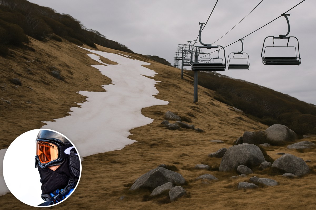
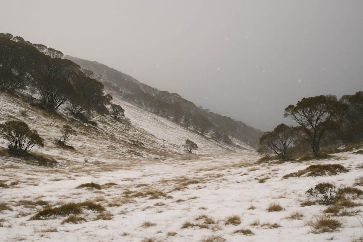
With polar outbreaks largely absent, snow was scarce — a very poor ski season in the alpine resorts, and many sub-alpine stretches of the ranges that would usually catch a dusting missed out entirely. In the Blue Mountains, snow failed to fall for the fourth consecutive year. The one outlier was the west: Perth's winter came in only 0.3 degrees above its long-term average.
Why it happened
The analysis is careful about attribution. Natural variability and climate change are the main drivers, with an additional boost from an extreme El Niño event — the Pacific pattern tracked by the Bureau's ENSO monitoring — and a notable absence of cold fronts arriving from the Southern Ocean. The same set of factors, it notes, should be lurking in the background through spring.
Spring arrives at 22 degrees
The new season will not ease anyone in. Spring opens on Tuesday with a burst of warm north-westerly winds across the south-east, pushing temperatures about 5 degrees above normal for the first of September. Melbourne and Adelaide are forecast to reach 22 degrees, Canberra 21 — for all three cities, the warmest first day of spring in five years. Sydney is looking at 25 to 27 degrees.
A cooler westerly change reaches the southern coastline by Wednesday, but the heat keeps building up north: Sydney is predicted to hit 27 on Wednesday, about 7 degrees above its September normal, and Brisbane 31 on Thursday and Friday.
The bigger claim sits behind the week's forecast. Modelling now points to the next three months being the warmest on record for an Australian spring across the southern states, with the Bureau's ACCESS-S model — the engine behind its official climate outlooks — predicting much of the south will run 2 to 3 degrees above the 1981-to-2018 baseline. Because warming was already well under way by the turn of the century, that converts to 3 to 4 degrees above pre-industrial levels.
That is a forecast, not a fact, and spring will get its own accounting in three months. But the analysis offers a way to feel the size of it: a single day 4 degrees above average is the kind you notice. Stretched across an entire season, it is not a warm spell — it is, in the words of the analysis, a major shift in the climate.
Update, 1 September: this article originally said Melbourne's winter mean beat every previous year, per the ABC's pre-season-end analysis. The Bureau of Meteorology's official winter figures, released once the season closed, show Melbourne equalled its 2005 record of 12.2 degrees. Victoria as a state did record its warmest winter outright. The headline and text above have been amended.