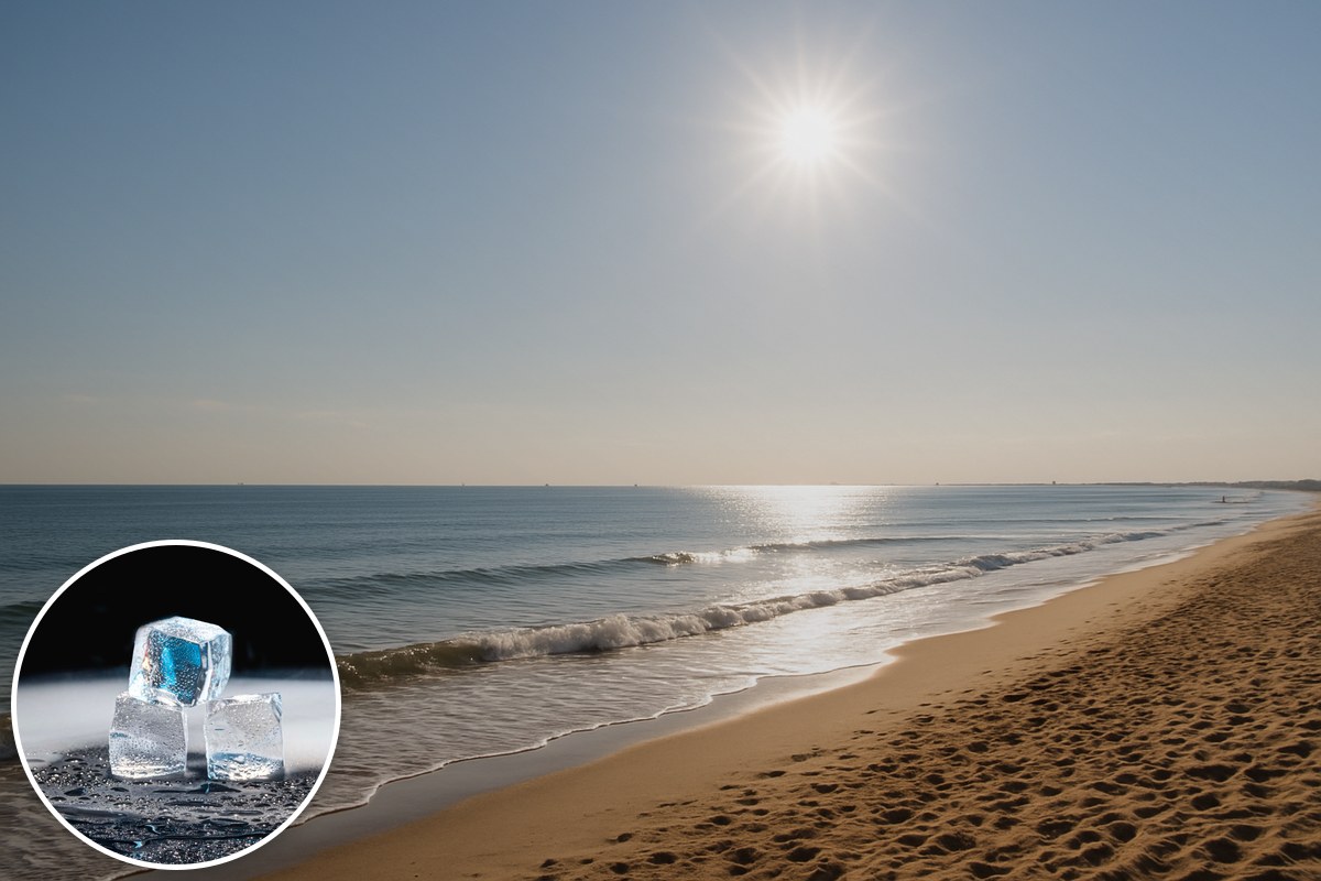
Melbourne's spring see-saw is about to swing hard the other way. After a polar blast this week, temperatures across the south-east will soar as much as 12 degrees above average this weekend, ABC meteorologist Tom Saunders reports — and Melbourne's forecast 27C on Sunday would be the city's warmest September day in three years.
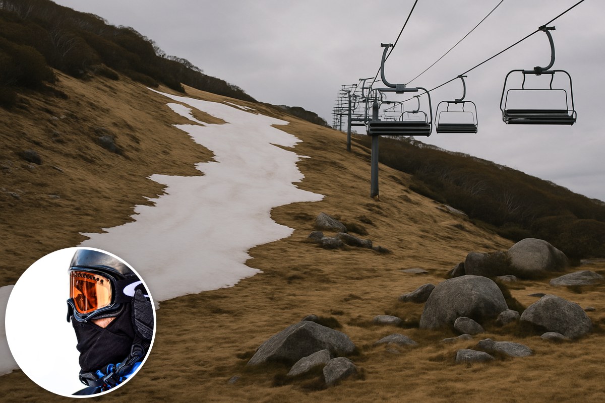
The week just gone ran the other extreme: frigid Antarctic air dropped temperatures as much as 10 degrees below average, snow fell close to sea level in Tasmania, and Goulburn shivered at -7C — half a degree off a monthly record. Those cold southerlies are now being replaced by a north-westerly airstream fed by Australia's north-west "heat engine", which has already delivered dozens of temperature records to Western Australia this week.
The warm air crossed WA on Thursday and Friday, reaches western South Australia on Saturday, and arrives in the east on Sunday. The capital-city forecasts read like early summer: Canberra 25C on Sunday (its warmest September day in three years), Hobart 27C (seven years), Melbourne 27C (three years). Sydney is tipped for 28C both days, with its western suburbs between 30C and 34C, and much of the south-east inland heads into the low-to-mid 30s — for towns like Mildura and Griffith, also the highest September numbers in years.
The catch: the heat leaves as fast as it arrives. Another polar air mass sweeping off the Southern Ocean will cut temperatures by 10 to 15 degrees inside 24 hours — reaching Adelaide around the middle of Sunday, Melbourne and Hobart on Sunday evening, and Canberra and Sydney on Monday. Melbourne's window, in other words, is Sunday daytime.
Why spring does this
Spring's volatility, Saunders explains, comes from the gap between a tropical north already in its hot season and a Southern Ocean still at midwinter chill. High sun and cloudless skies ignite the "heat engine" — the Pilbara and surrounds, where maximums already nudge 40C by September — and northerly winds carry that hot, dry air south, capable of pushing early-spring days above 30C as far south as Hobart. Meanwhile Antarctic sea ice is at its annual maximum, so when southerlies arrive they hit like a July front — Tasmania often records its heaviest snowfalls in spring.
The outlook keeps pointing one way
After Sunday's change, the warmth rebuilds: the last days of September are likely to reach about 30C across the south-east states, and October and November are likely to run above normal — potentially lifting the season's average past the unprecedented hot springs of 2024 and 2020. The first summer outlook has now landed too. A multi-agency forecast averaging nine models, including the Bureau of Meteorology's, puts December-to-February temperatures 1C to 2C above the 1993–2016 baseline — and because Australia's seasons are ranked against the cooler 1961–1990 climate, that forecast sits a further 0.82C warmer in the record books, putting the record hot summer of 2018-19 under threat. The Bureau, meanwhile, has just revamped the rain radar on its maligned new website — timely, given what the season may hold.
It has been the warm year's pattern all along: Melbourne came off its equal-warmest winter on record and a snow season that shut weeks early. Sunday is the free sample; if the models are right, summer intends to make it look mild.